14 communes · conceptual layer
Appellation orientation
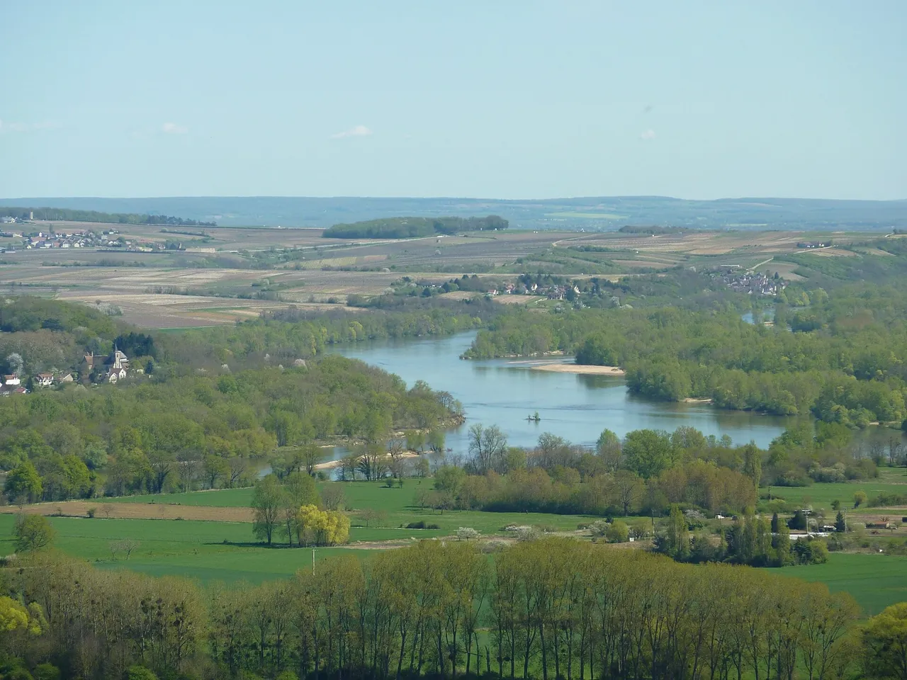
A clear first look at the Loire, the hill of Sancerre and the principal wine-growing villages.
Search the Library across producers, wines, villages, vineyards, soils and vintages.
Locate yourself
Conceptual orientation layers today; verified parcel-grade geography is the next data phase.
Browse the collection
14 communes · conceptual layer
A clear first look at the Loire, the hill of Sancerre and the principal wine-growing villages.
Terres Blanches · Caillottes · Silex
Explore the three broad soil families without reducing a wine to geology alone.
Directory layer
Move from a village to its growers, wines, vineyards and visit notes.
Planning layer
A foundation for verified wineries, restaurants, stays and transport details.
No entries match those filters. Clear a filter and try again.
Real boundaries
The layers on this page are orientation guides. The commune map in our first guide is drawn from official boundary data and marks the Loire, Chavignol and Amigny.
Open the commune mapLicences and file details for every image: Image credits.
